Introduction to GIS in Public Health
Geographic Information Systems (GIS) have revolutionized how we understand and manage public health concerns. By enabling the visualization, analysis, and interpretation of data in terms of geography, GIS offers invaluable insights into the patterns and spread of diseases, health trends, and resource allocation. This tool has become essential in public health for its ability to provide a spatial dimension to health data, enhancing decision-making and policy formulation.
Historical Context: John Snow’s Contribution
The 1854 Cholera Outbreak: A Pivotal Moment in Epidemiology
The 1854 cholera outbreak in London stands as a seminal event in the field of epidemiology. It was a period marked by rampant disease and limited understanding of its transmission. The outbreak became a catalyst for change, driving the need for innovative approaches to combat public health crises.
John Snow’s Approach: How Mapping Helped Identify the Source
John Snow, an English physician, used a rudimentary form of GIS through hand-drawn maps to track the cholera outbreak. By mapping the cases of cholera, Snow was able to identify the source of the outbreak – a contaminated water pump on Broad Street. His approach laid the foundation for modern epidemiology and illustrated the power of spatial analysis in public health.
Modern GIS Technology in Public Health
Evolution of GIS Tools: From Paper Maps to Digital Platforms
Since John Snow’s time, GIS technology has evolved dramatically. From paper maps and basic charting, it has transformed into sophisticated digital platforms capable of analyzing vast amounts of data. Today’s GIS tools offer real-time data processing, 3D modeling, and advanced predictive capabilities.
Applications in Contemporary Health Issues: Real-time Monitoring and Analysis
Modern GIS applications in public health extend to real-time monitoring of disease spread, analyzing health trends across demographics, and planning healthcare services. These tools enable health professionals to respond swiftly and efficiently to emerging health threats.
GIS and COVID-19 Pandemic
Tracking the Spread: Visualizing the Global Impact
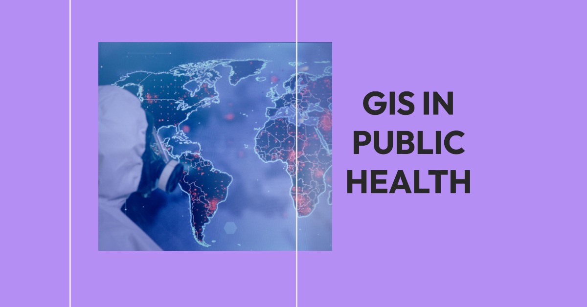
During the COVID-19 pandemic, GIS played a crucial role in tracking the spread of the virus. Interactive maps and dashboards provided real-time data on infection rates, hotspots, and the progression of the pandemic globally, aiding in understanding and managing the crisis.
Resource Allocation and Planning: How GIS Informed Decision-Making
GIS tools were instrumental in planning and resource allocation during the pandemic. By analyzing the spread and intensity of COVID-19, authorities could allocate medical resources, plan lockdowns, and implement other control measures more effectively.
Benefits of GIS in Public Health
Enhanced Disease Surveillance: Predicting and Preventing Outbreaks
GIS enables enhanced surveillance of diseases. By identifying potential outbreak hotspots and tracking disease progression, public health officials can implement preventive measures and mitigate the impact of outbreaks.
Improved Public Health Policies: Data-Driven Strategies
Data-driven strategies facilitated by GIS lead to more effective public health policies. By analyzing spatial data, policymakers can identify at-risk populations, allocate resources more efficiently, and tailor health programs to specific community needs.
Challenges in Implementing GIS in Public Health
Data Privacy Concerns: Balancing Information Sharing and Privacy
While GIS offers significant benefits, it also raises concerns regarding data privacy. Balancing the need for information sharing with individual privacy rights remains a significant challenge.
Technical and Resource Limitations: Overcoming Barriers to Access
Technical complexities and resource limitations can hinder the effective implementation of GIS in public health. Ensuring access to technology and training professionals are essential steps towards overcoming these barriers.
The Future of GIS in Public Health
Predictive Modeling: Anticipating Future Health Trends
The future of GIS in public health lies in predictive modeling. By analyzing current and historical data, GIS can help forecast future health trends, enabling proactive responses to potential health crises.
Integrated Health Systems: Comprehensive Health Management
GIS is moving towards the integration of various health systems, creating a comprehensive platform for health management that combines data from multiple sources for a holistic view of public health.
Conclusion
The ongoing significance of GIS in public health cannot be overstated. From the pioneering work of John Snow to the unprecedented challenges of the COVID-19 pandemic, GIS has proven to be an indispensable tool in the fight against public health crises. Its ability to transform data into actionable insights makes GIS a critical ally in enhancing global health and well-being.


