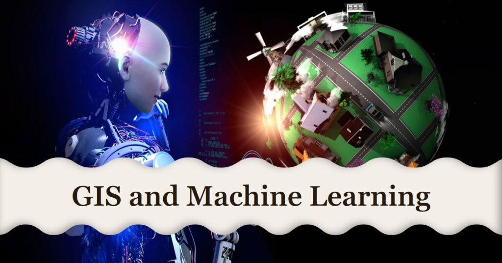
Geographic Information Systems (GIS) and Machine Learning (ML) have quickly emerged as important areas of research and application in the continuously changing world of technology. The convergence of these two realms is reshaping many industries, allowing for better informed decision-making and improving predictive capacities. For example, increasing crop productivity through precision agriculture, understanding crime patterns, and predicting when the next major storm will strike and being better prepared to deal with it are all possibilities.
Understanding the Basics
What is GIS?
GIS, or Geographic Information Systems, refers to the framework for gathering, managing, and analyzing data. Rooted in geography, GIS integrates various types of data, mapping it in a visual context and aiding in understanding patterns and relationships.
What is Machine Learning?
Machine Learning, a subset of AI, entails the development and application of algorithms that enable computers to learn from and make judgments or predictions based on data. In essence, it is teaching computers to learn and adapt via experience, duplicating the human learning process but on a much larger scale and at a much faster rate.
The Convergence of GIS and Machine Learning
With the exponential growth of spatial data, the combination of GIS and Machine Learning has become more common. ML algorithms can detect patterns in complex spatial data, which GIS may then visualize to provide useful insights. Doesn’t it sound incredible?
Exploring the Applications
Urban Planning
The confluence of GIS and Machine Learning has proven transformative in urban planning. Decision-makers can better comprehend urban dynamics, predict future trends, and plan accordingly by analyzing and displaying complicated urban data.
Environmental Monitoring
The combination of GIS with ML provides a formidable tool for environmental monitoring. Predictive models can foresee changes in climate patterns, species movement, and impending natural disasters, allowing preventative precautions to be implemented.
Logistics and Transportation
GIS and machine learning are also being used in the transportation and logistics industries. Predictive analytics can enhance overall efficiency by optimizing routes, anticipating delays, and predicting delays.
Disaster Preparedness
In disaster management, GIS-based Machine Learning models can forecast catastrophe-prone locations, allowing for faster response and more effective planning.
The Implications of the Intersection
Benefits
There are various advantages to combining GIS and Machine Learning. It allows for more accurate predictions, better decision-making, higher efficiency, and better resource usage. Furthermore, it fosters a proactive rather than a reactive attitude.
Difficulties
This juncture, like a double-edged blade, carries with it challenges. Concerns about data privacy, the complexity of ML models, the necessity for qualified personnel, and the significant expenses associated are just a few examples.
Examples of GIS and Machine Learning in Action
This intersection is demonstrated through a number of real-world instances. GIS and machine learning are used by Google Maps for route optimization and real-time traffic updates. NASA uses this combo to monitor climate change and forecast natural calamities.
The Future of GIS and Machine Learning
Predictions
GIS and Machine Learning have a bright future, with considerable breakthroughs projected. We should expect more complex applications and insights as data availability grows and ML algorithms improve.
Preparations
Organizations must invest in the required tools, technologies, and training to fully realize the promise of this intersection. But, don’t forget, readiness is the key to using any technology, isn’t it?
Conclusion
To summarize, the convergence of GIS and Machine Learning is a rapidly emerging discipline that is delivering dramatic improvements to sectors across the board. While it brings distinct obstacles, the advantages outweigh the drawbacks. Understanding and harnessing this intersection becomes increasingly important as we navigate this digital world.
FAQs
- What is GIS in simple terms? GIS, or Geographic Information Systems, is a system designed to capture, store, manipulate, analyze, manage, and present spatial or geographic data.
- What is an example of Machine Learning? An example of Machine Learning is a recommendation system used by online platforms like Netflix or Amazon, which analyze a user’s past behavior and preferences to suggest content or products.
- How does the intersection of GIS and Machine Learning benefit urban planning? The intersection of GIS and Machine Learning helps urban planning by analyzing and visualizing complex urban data. This aids in understanding urban dynamics, predicting future trends, and making informed planning decisions.
- What are some challenges in integrating GIS and Machine Learning? Challenges in integrating GIS and Machine Learning include data privacy issues, the complexity of ML models, the need for skilled professionals, and high implementation costs.
- How does GIS and Machine Learning contribute to disaster management? GIS and Machine Learning can predict areas prone to disasters by analyzing spatial data, enabling timely response and effective disaster management.